
Walk a Kent Street Directory
A sound by-address search moves from the most stable fact to the least certain one. In Kent, that stable fact is usually the parcel. Street spelling, direction, unit, and suffix must match the county map closely enough to resolve the right site. The parcel number then connects the map to assessment and deed records. Ownership is public evidence, but it is not proof of current occupancy. A taxpayer may receive mail elsewhere, and a parcel may be held by a trust or company.
- Normalize the Kent address. Keep the number, direction, street type, unit, and ZIP, then use the City Limits Tool when city jurisdiction matters.
- Search the King County Parcel Viewer. Open the subject parcel, then click the parcels beside it one at a time.
- Follow the report link to eReal Property. Record the PIN, site address, owner or taxpayer, mailing address, legal description, and sales history as separate fields.
- Use the PIN and legal description in Landmark for deeds. If lawful voter evidence is needed, request the proper geographic file from Elections rather than treating the personal login as a street list.
- For older occupants, compare the address with Kent and Seattle Suburban South directories, newspaper film, census schedules, plats, and maps.
This sequence keeps a Kent street directory tied to records that can be checked. It also reveals where uncertainty begins. The assessor can name a taxpayer. A deed can prove a transfer. Neither names every person under the roof.
Kent Street Search Fields
The King County eReal Property search is the main owner-record route for a Kent parcel. Address or parcel number is the confirmed public entry point. A standalone current owner-name search was not confirmed in the reviewed interface, so use a known site or PIN and call the Assessor when the public form cannot resolve it. The report distinguishes the physical site from the taxpayer's mailing destination.
| Portal field | Input type | Use in a street search | Format note |
|---|---|---|---|
| Address or parcel number | Text | Primary lookup | Street address or 10-digit parcel |
| Condo name | Checkbox | Switches to condominium search | Optional |
| Parcel number in eMap | Text | Maps the exact tax parcel | Ten digits, no spaces or hyphens |
| Quarter, section, township, range | Selectors | Locates land by survey geography | Optional PLSS combination |
| City levy code | Selector or text | Checks taxing jurisdiction | Four digits; a result may identify KENT |
| Map updated date | Date pair | Narrows map changes | Month/day/year |
The successful manifest capture of the eReal Property interface shows the county's parcel-centered starting point.
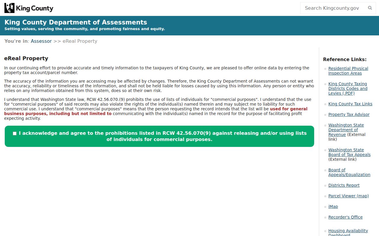
That screen is useful because it routes an exact Kent address into a report, not because it produces a list of all residents on the street.
The county's eMap parcel view is another successful manifest capture for this Kent street directory.
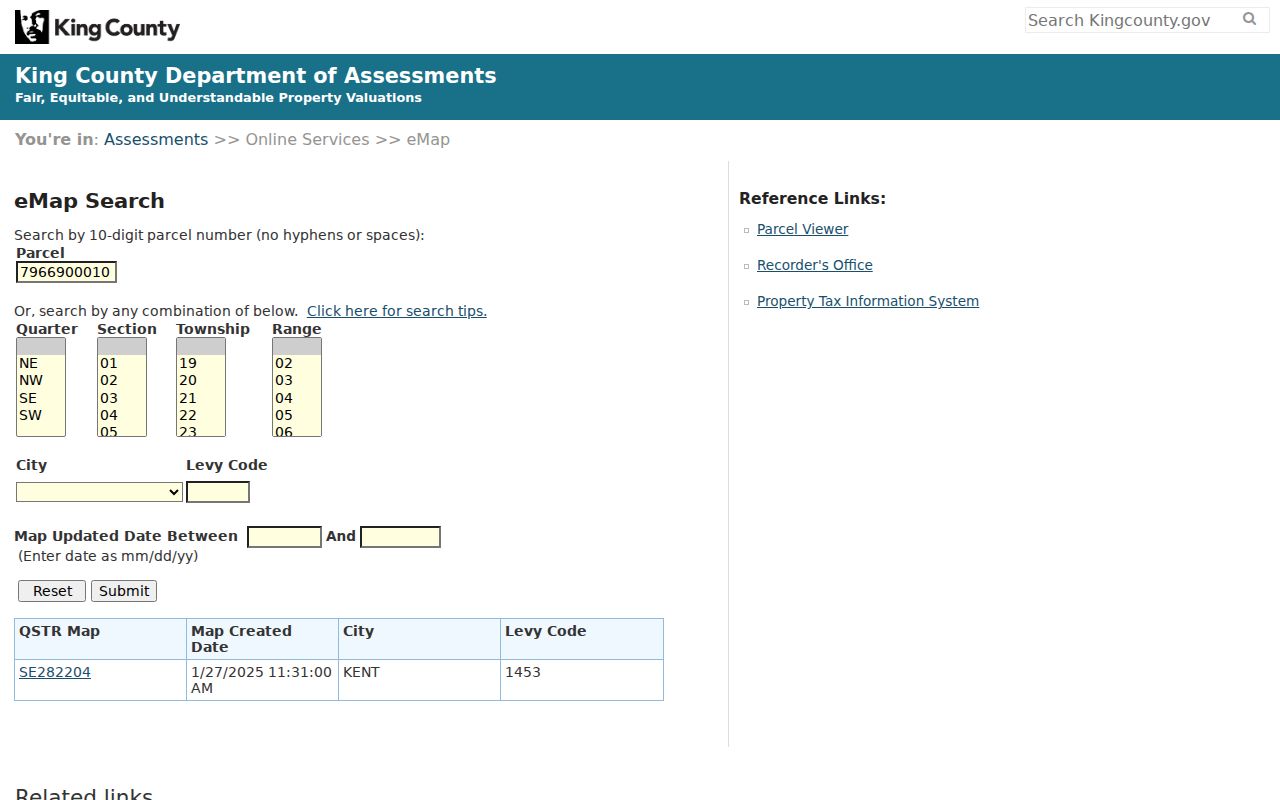
Its parcel, city levy code, survey, and map-date controls help keep the mapped land separate from a postal label.
Records Along Kent Streets
No single Kent street directory has the whole answer. The parcel roll is strongest for the current owner or taxpayer. The map adds nearby parcels and districts. Recorded instruments establish transfers and liens. Permit logs date work at a site. Elections material has its own strict access and use rules, while historical sources may supply occupant evidence for earlier years.
| Address record | Kent-area keeper | What can be checked | Access route |
|---|---|---|---|
| Assessment report | King County Assessor | Owner or taxpayer, site, mailing, PIN, legal description, sales and improvements | Free eReal report; phone or email fallback |
| Parcel and district map | King County GIS | Parcel polygons, adjoining sites, districts, planning and flood layers | Free Parcel Viewer and iMap |
| Recorded documents | King County Recorder | Deeds, liens, easements, plats, mortgages, parties and dates | Free Landmark index; paid or archival copies |
| Older recorded files | King County Archives | Pre-August 1991 deed chain and maps | Microfilm reader, scan request, consultation |
| Permit logs | Kent Permit Center | Project address, date, work, applicant or contractor | Online logs for 2007-2026; request older plans |
| Voter files | King County Elections | Permitted current list fields under state law | Narrow records request with lawful purpose |
Use those records as separate layers. A permit applicant is not always the owner. A voter list omits people who are not registered and those whose addresses are protected. A tax mailing address can be far from the actual Kent site.
Click Down a Kent Street
Parcel Viewer and iMap turn a street name into a row of legal parcels. Search an address, parcel, or intersection, zoom until red parcel outlines appear, and click each polygon in order. The popup links to the Assessor and the Districts and Development Conditions report. There is no documented one-click export of everyone on a Kent street. Each parcel must be reviewed on its own.
The map layers help explain why nearby sites differ. More than one hundred layers cover parcels, property, natural resources, political boundaries, planning, zoning, flooding, and aerial images. Group and individual layer switches both must be on. The FEMA preliminary 100-year floodplain is one documented choice. Share and print controls preserve the map view for research notes.
The captured Parcel Viewer guide illustrates the county map route used by the street directory.
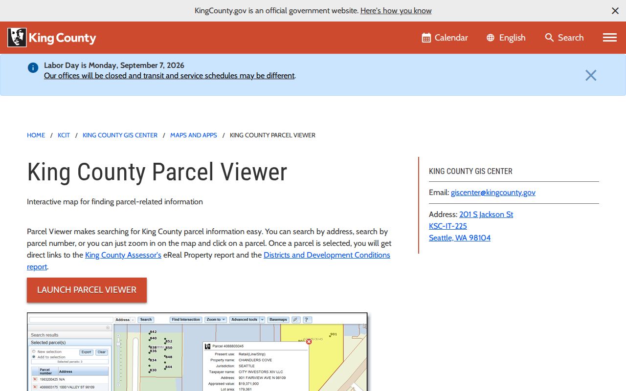
Once a parcel is selected, carry its PIN into the assessment and deed tools so the same land is followed across systems.
Note: A parcel owner may live elsewhere, so map adjacency proves land position and not a personal relationship between the named owners.
Three Keys for Kent Addresses
Kent records use three address concepts. Keeping them separate prevents false matches, especially in the Valley and near city edges. The situs address is the physical location. The mailing address is where the tax notice goes. The legal description identifies land by plat, lot, block, condominium unit, or public-land survey terms and can remain useful after a street label changes.
- Parcel
- A mapped unit of land with a county parcel identification number, often shortened to PIN.
- Situs address
- The physical site address assigned to the property, distinct from the taxpayer's mailing address.
- Plat
- A recorded map that divides land into named lots, blocks, roads, or tracts.
- Criss-cross directory
- A directory arranged by street or phone number, used to identify listed occupants at an older address.
The City Limits Tool is the right check for Kent jurisdiction. A Kent postal name or ZIP does not by itself prove that the parcel falls inside city limits. County reports can also display voting, school, fire, legislative, and court districts that do not share one boundary.
Kent Parcels in Landmark
Landmark connects a Kent parcel to recorded deeds, mortgages, liens, easements, plats, surveys, and other instruments. Start with the parcel number and legal description from eReal. Parcel search is documented for 1997 to the present and uses the first ten PIN digits. Name and legal searches can reach farther. Read the document type before treating a filing as an ownership transfer, since a mortgage or deed of trust is not a deed of sale.
The Landmark search capture shows the separate name, document, book and page, parcel, date, recording number, legal, and Torrens routes.
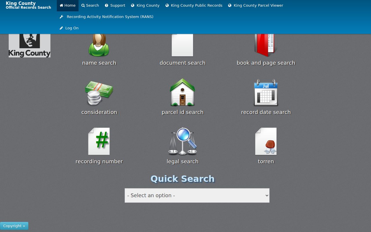
The range of search icons matters when one Kent street spelling fails. A recording number, party name, plat, or book and page can preserve the chain without relying on the modern address.
Kent Records Cross the 1991 Line
Landmark generally provides records recorded from August 1, 1991 onward, with unofficial images from 1976 and later. Plats, surveys, and maps can reach 1853. A blank online result does not mean an older Kent deed vanished. King County Archives holds recorded documents from 1853 through July 31, 1991 on microfilm.
Archives offers self-service microfilm readers and scanners during lobby hours, scan requests, and research consultation. The recorded-document lobby is open Tuesday and Wednesday from 10:00 to 3:00, while the research room is appointment only. Uncertified copies of older recorded documents not available from the Recorder generally have no duplication fee. Certified copies remain subject to fees.
The King County Archives visit page shows the in-person research route behind that cutoff.
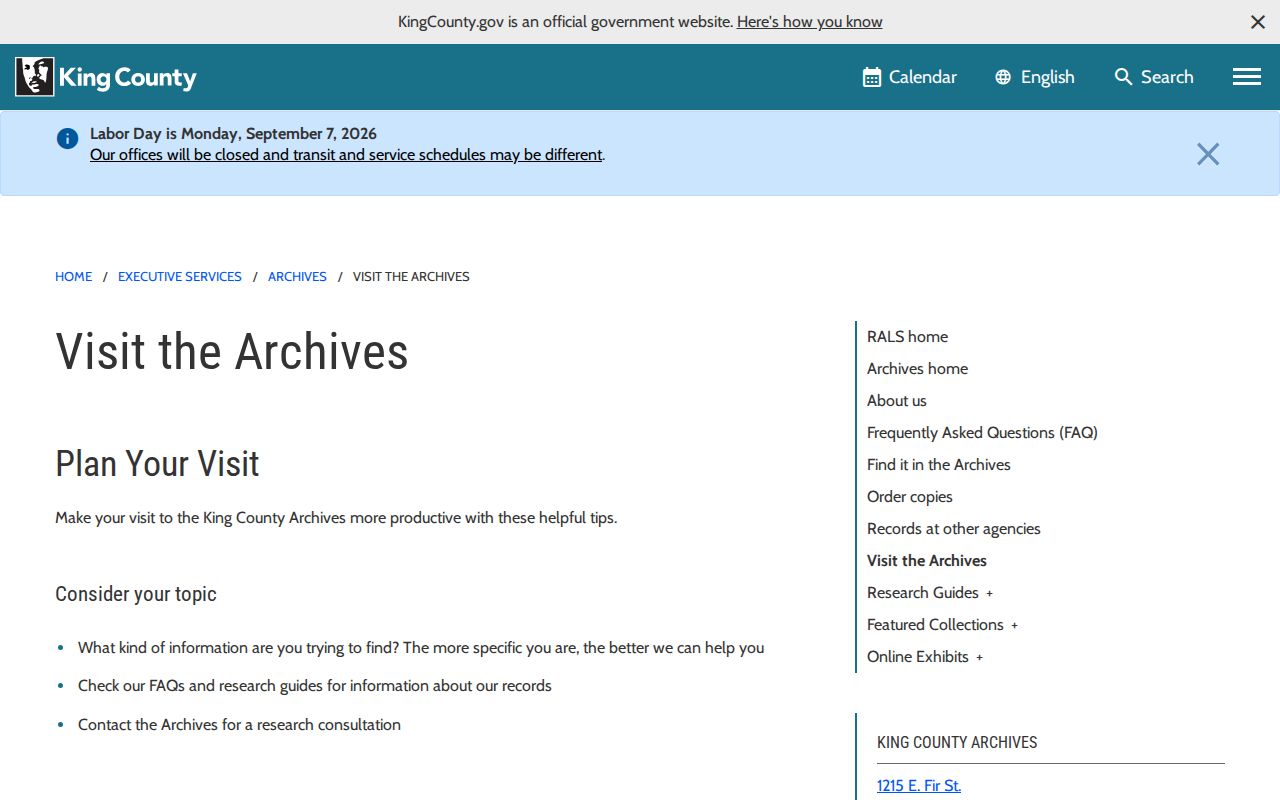
This offline bridge is essential when a Kent street directory search reaches a parcel transfer before the web index.
Kent Permits by Address
The Kent permit logs provide an address-linked record of projects from 2007 through 2026. A permit may identify the project site, date, type of work, applicant, or contractor. It can help date an addition, repair, or other change seen in the parcel report. It does not prove that the applicant owned or lived at the site.
Kent processes current permits electronically. For older plans or a file that is not in the public logs, request the record through the City. Code enforcement can be reached at 253-856-5909 for the appropriate releasable case route. Public utility construction and as-built plans can explain infrastructure, but customer account lists are not a resident roll.
Kent Voter Records Are Narrow
King County My Voter Information is a private single-person login, not a browseable Kent street directory. It asks for any three of four items: first name, last name, date of birth, and house or building number. The result can show registration and ballot-status information for that matched person. It cannot be used to pull all homes on a road.
Current precinct and registered-voter lists are public under RCW 29A.08.720, but statutory limits and protected-record exceptions apply. Requests go to King County Elections and should state the geography, fields, format, date range, and lawful political purpose. Full birth dates, signatures, license or ID data, ballot choices, and Address Confidentiality Program records are not public directory fields. Voter data may not be used for ads, offers, or solicitations.
Monitor a Kent Parcel
The Recorder's free Recording Activity Notification System, or RANS, can send an email when a document is recorded under a chosen personal or business name or parcel number. For a parcel alert, enter the first ten digits without dashes. Name variants are worth adding because matching is limited. An alert contains the document type, date and time, recording number, and a route back to Landmark.
The successful RANS capture shows its name, email, parcel, language, and confirmation fields.
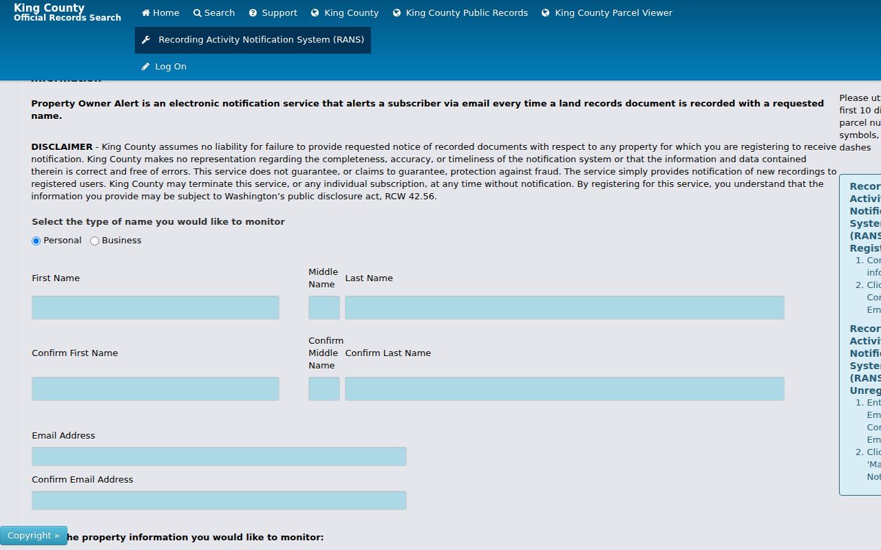
RANS is an alert, not a title check. It does not stop fraud, guarantee prompt notice, or invalidate a filing. Use the recording number to inspect the actual document.
Older Kent Streets in Print
When the question shifts from ownership to past occupants, reverse and suburban directories can add a household name that parcel files do not. Verified State Library holdings include Kent volumes for 1968-1970 and 1972-1975, then Seattle Suburban South volumes for 1976-1983, 1985, 1987, and 1991. A reverse section must be confirmed in the volume. The collection is described more fully on the Kent city directories page.
Older address work also uses Kent Library newspaper microfilm, beginning with the Kent Advertiser in 1893 and extending through selected local titles to 2009. Historic names such as White River, Duwamish, Titusville, and Kent Valley may describe a place now treated as Kent. Search both the old label and the modern one.
Limits of Kent Street Records
A public street search can show parcels, named owners or taxpayers, recorded parties, permit activity, and limited lawful voter evidence. It cannot provide a complete roll of Kent occupants. Renters, children, unregistered residents, utility customers, delivery recipients, protected voters, and private association members may never appear. A trust, company, vacant site, or common parcel can also break the simple link between a name and a home.
Commercial compilations can be old or wrong and do not solve those gaps. Verify a claimed owner with the Assessor and deed, and verify any older household through more than one period source. If the aim becomes one named person rather than the whole road, the Kent resident search has the better record sequence.
Lawful use. Kent address records support property, family-history, civic, and personal research. Never use an address search to stalk, harass, threaten, or pressure anyone.