
Kent Previous-Resident Era Map
A Kent address trail changes source as it moves back in time. Modern assessment reports locate the parcel. Recorder documents show transfers. Archives holds the older deed bridge. Directories, newspapers, census schedules, maps, and permit files add occupants and physical context. Begin with the row that fits the period, then overlap it with at least one other record.
| Source | Years it covers | Where held | What it shows |
|---|---|---|---|
| Assessor report and sales | Generally mid-1980s to present | King County eReal Property | Current parcel, owner or taxpayer, sale dates, improvements and legal description |
| Landmark online | Most records from Aug. 1, 1991; unofficial images from 1976 | King County Recorder | Parties, instruments, dates, images and parcel links; parcel search 1997-current |
| Recorded-document microfilm | 1853 through July 31, 1991 | King County Archives | Deeds, plats, easements, mortgages and other legal instruments |
| Kent and suburban directories | 1968-70, 1972-83, 1985, 1987, 1991 | Washington State Library | Name and address context; reverse sections must be checked in each volume |
| Kent newspapers | Selected runs, 1893-2009 | KCLS microfilm | Obituaries, legal notices, property events and address mentions |
| Federal census | Public schedules through 1950 | National Archives and partners | Household members, ages, birthplaces and street context |
| Sanborn Kent map | 1890 | Library of Congress online | Building footprint, use, materials, streets and nearby sites |
| Kent permit logs | 2007-2026; older records by request | Kent Permit Center | Work dates, project site, applicant and contractor |
For recent previous residents, start with eReal and Landmark. For an older Kent household, anchor the land with a deed or plat, then move to the nearest directory, census, or newspaper year. A gap in one series is common and is not proof that nobody lived there.
Fix the Kent Parcel First
Search the King County eReal Property portal by full street address or parcel number. Record the ten-digit PIN, taxpayer or owner, site address, mailing address, legal description, sales history, and building details as separate facts. The site address locates the structure. The mailing address may point elsewhere. The legal description preserves the land identity when street labels fail.
The captured assessment search shows the parcel-centered entry used to identify the current Kent site.
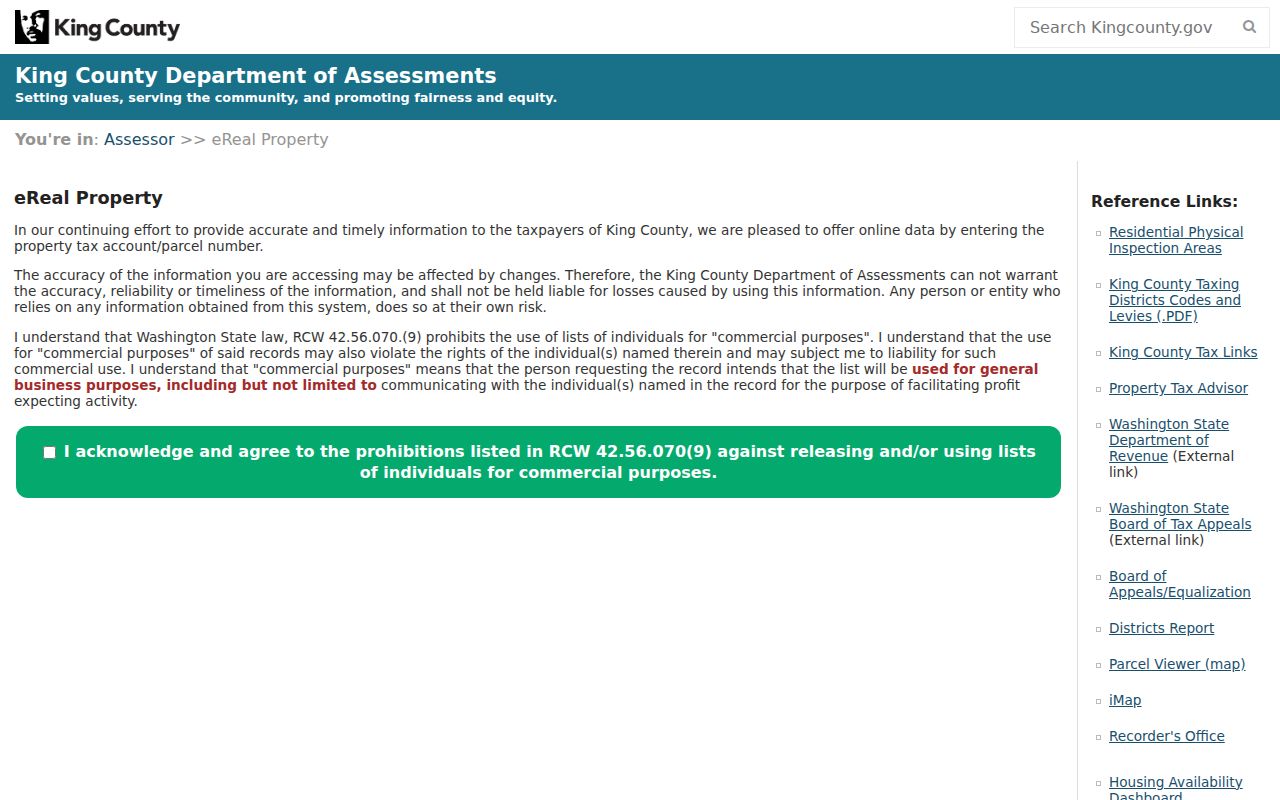
Carry the resulting PIN and legal description into every later step. Names can repeat, change, or be indexed in several forms, while the land description offers a firmer match.
Trace Kent Owners Backward
The deed chain begins with the newest confirmed owner and moves seller by seller. Landmark can be searched by name, document, book and page, parcel, recording date, recording number, legal description, or Torrens number. Parcel search is documented for 1997 to the present. Historical name indexing varies, so preserve initials, former surnames, and entity names.
- Open the current Kent parcel report. Copy its PIN and complete legal description.
- Find the current owner's purchase deed in Landmark. Note the grantor, grantee, document type, recording number, date, and legal description.
- Search the seller as a grantee. That earlier record should show when the seller acquired the same land.
- Repeat while the parcel and legal description still match. Read each document type before treating it as a transfer.
- At the online cutoff, move to Archives microfilm and its grantor-grantee indexes rather than ending the search.
- Grantor
- The person or entity transferring an interest in property, often the seller in a deed.
- Grantee
- The person or entity receiving the interest, often the buyer in a deed.
- Chain of title
- The linked sequence of recorded transfers for the same land.
- Legal description
- The plat, lot, block, unit, or survey terms that identify land more reliably than an old street address.
The successful Landmark image displays the multiple search paths needed when a name or parcel query stalls.
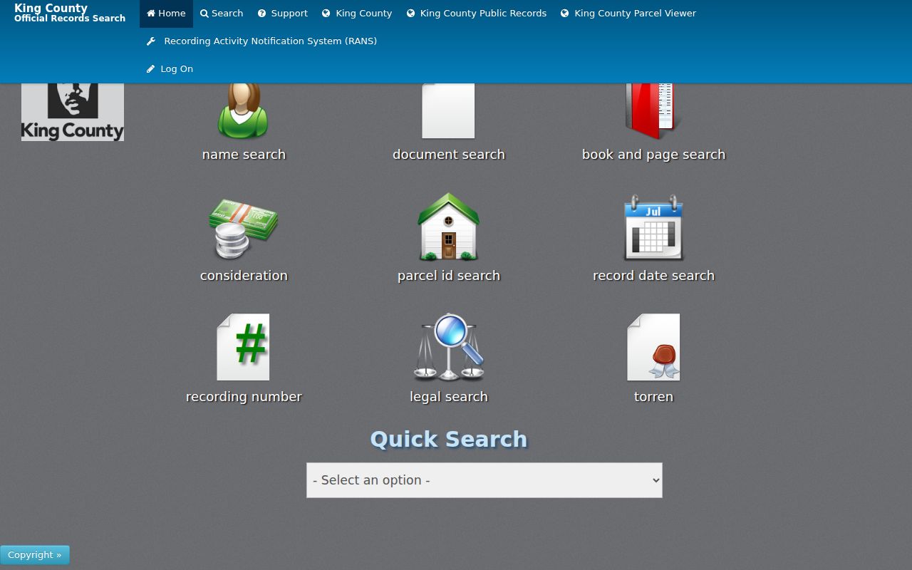
Its legal and recording-number tools are often more useful than a modern street string when tracing previous residents far back.
Kent Deeds Before August 1991
King County Archives holds recorded documents from 1853 through July 31, 1991. Recorder originals generally begin August 1, 1991. This custody line explains why an online search can stop even though the property record continues. Archives provides public microfilm readers and scanners, can scan microfilm by request, and offers research consultation.
Walk-in access for recorded-document research is available Tuesday and Wednesday from 10:00 to 3:00 at 1215 E Fir Street in Seattle. The research room is appointment only. Phone and email service runs Monday through Friday from 9:00 to 4:00 at 206-263-2480 and archives@kingcounty.gov. Uncertified copies of older recorded documents not available through the Recorder generally have no duplication fee; certified-copy charges still apply.
The Archives visit and research page shows the offline route for the previous-resident trail.
Ask for the old grantor-grantee index or a microfilm scan using the parties, approximate date, recording number, and legal description already collected.
Build a Kent House Record
King County and Seattle building-history guidance combines the parcel report, assessor card or photo, recorded documents, plats, Sanborn maps, permits, historic designation files, census schedules, directories, newspapers, oral histories, and neighborhood histories. Kent has local versions of those sources. Permit logs date recent work, Kent Library film supplies news, the Greater Kent Historical Society adds local collections, and the 1890 Sanborn map provides an early physical baseline.
The sequence works because no item has to answer every question. A deed confirms an owner. A permit dates work but not occupancy. A census lists a household but may use an older place name. An assessor photo can show a structure without naming a resident. Aligning dates and the same legal parcel creates a stronger Kent history.
Pair Kent Directories and Census
Owners are only part of the past-resident question. A directory or census can add a listed occupant, spouse, relative, or other household member. Verified State Library holdings include Kent for 1968-1970 and 1972-1975, followed by Seattle Suburban South volumes for 1976-1983, 1985, 1987, and 1991. The 1971 gap is real in the verified shelf list. Reverse sections must be checked inside each volume rather than assumed.
- Choose the directory year closest to the deed, permit, or sale event. Search the street and the surname when both arrangements exist.
- Copy the entry exactly, including initials, spouse names, occupation abbreviations, and address form.
- Compare the nearest public federal census schedule through 1950. Match the place, household, ages, and names without forcing an identity.
- Use a Kent newspaper from the same period to test moves, deaths, sales, school ties, or legal notices.
- Carry uncertain names forward and backward one record at a time. The full shelf detail belongs on the Kent city directories page.
This process can identify people who lived at a Kent address but did not own it. It also exposes a key limit: directory publishers omitted some households, and the 72-year census release rule leaves recent homes without public census schedules.
The Washington State Library holdings capture confirms the listed Kent and suburban directory runs.
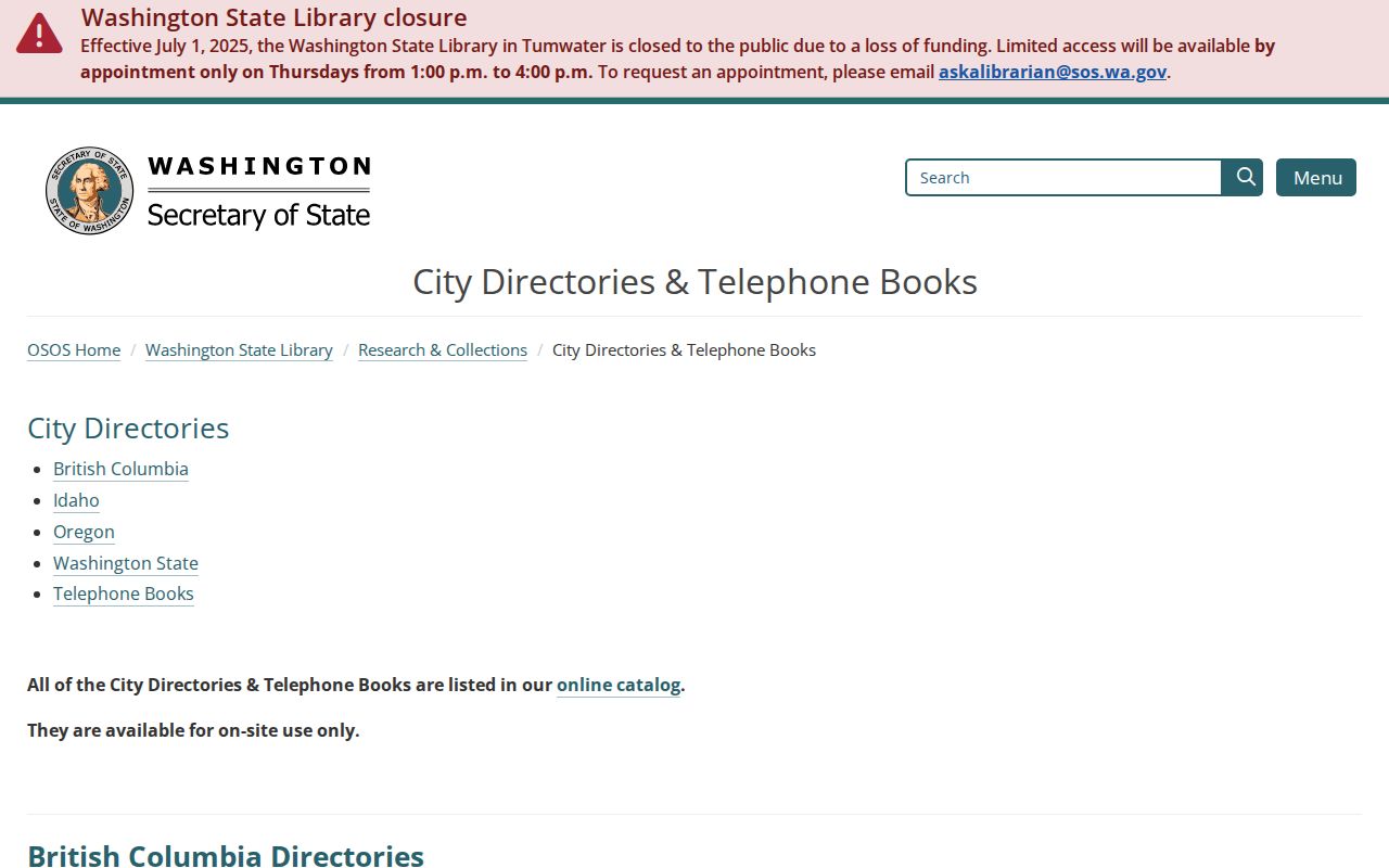
Those verified years define where a previous residents search can use printed name and address evidence, including the documented 1971 gap.
Kent News Extends the Trail
KCLS microfilm reaches much earlier than the verified local directory run. Titles include the Kent Advertiser in 1893-1894, Kent Journal in 1913-1916, Kent Advertiser-Journal in 1919-1934, Kent News Journal in 1936-1986, Valley Daily News in 1986-1996, Seattle Post-Intelligencer at Kent through 2009, and King County Journal material in 2003.
Search an address, surname, plat, road, school, church, farm, or business. Obituaries can connect relatives and dates. Probate notices can point to heirs or a court file. Property-sale and legal notices can bridge deed events. Use the official deed, court file, or certificate to confirm a newspaper claim.
The captured Kent Library page identifies its film and fiche equipment and local history resources.
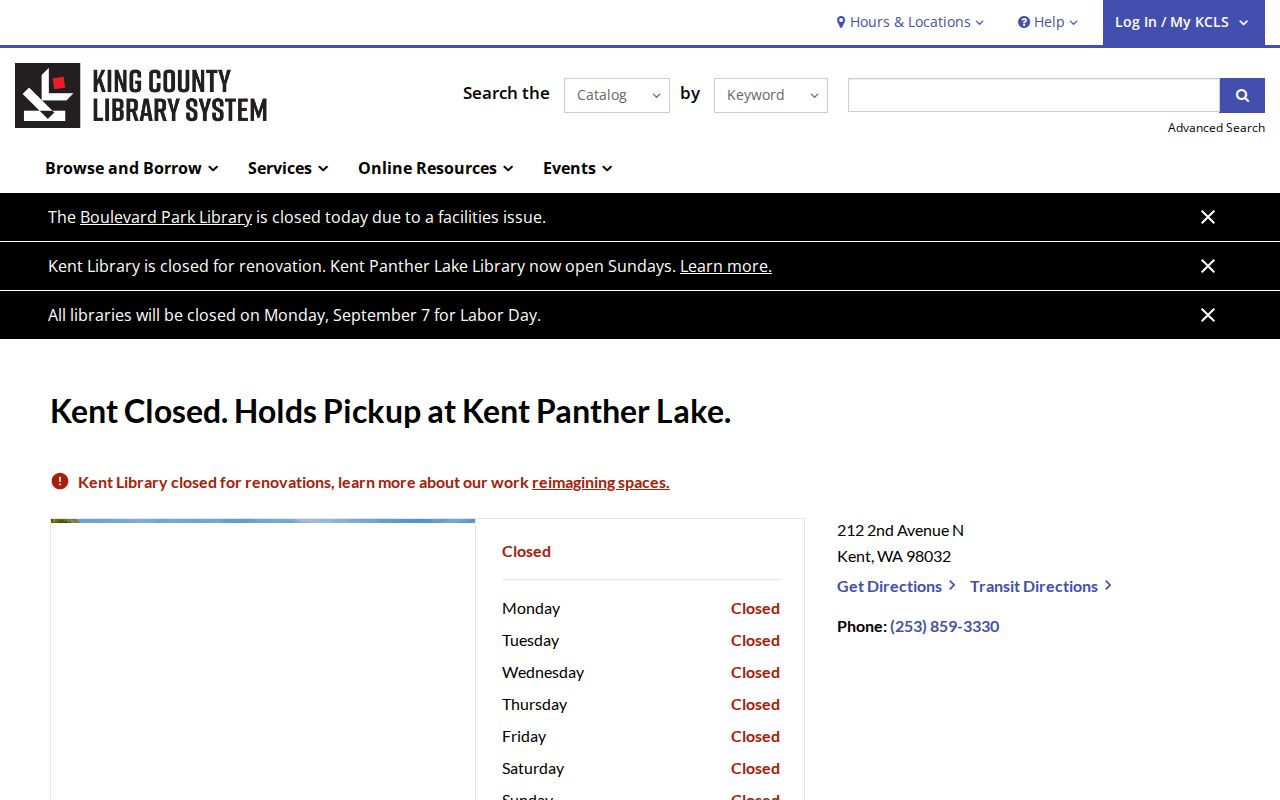
Kent Library's 2026 renovation affects access, so confirm equipment and service location before a visit and ask about Kent Panther Lake or Woodmont support.
Kent's 1890 Physical Baseline
The Library of Congress Kent Sanborn map dates to 1890. It can show a building footprint, use, construction symbols, nearby streets, and the commercial or farm setting. It does not list every occupant and should never be read as a current parcel map.
Compare its street and lot context with a recorded plat, the deed's legal description, and a modern parcel polygon. That bridge is especially useful when a present number does not appear in nineteenth-century sources. The same site may have been described by a farm, rail feature, post office, or local place name.
Old Kent Place Names Matter
Kent grew from a farming and rail town into a city spanning the Valley, East Hill, and West Hill. Official sources do not confirm one universal street-renumbering year. Do not invent one. When a modern address fails, test old spelling and suffix forms, rural routes, plat lot and block, township and section, census enumeration district, and place labels such as White River, Duwamish, Titusville, or Kent Valley.
The 1906 White River diversion, annexations, and later road and development changes can shift how a location is described. A mailing city can also differ from city jurisdiction. The City Limits Tool checks the modern boundary, while the legal description and plats carry the historical land connection.
Kent Deeds Can Mark Displacement
Kent's official history says about 200 Japanese American families lived in the area by the 1940s. Wartime exclusion removed families in May 1942, and only about 30 returned after the war. A sudden ownership or occupant change in that period may relate to forced removal, sale, or property holding rather than an ordinary move.
Do not infer the cause from a surname or deed alone. Compare recorded instruments with agricultural records, newspapers, school material, photographs, oral histories, and the local Japanese heritage collection. This Kent story shows why a previous-resident timeline needs social history as well as names and dates.
Kent Past Residents Beyond Deeds
Obituaries, probate files, census schedules, and newspapers can close a household trail when an owner name disappears. King County Superior Court files reach 1853 to the present through different indexes and custody routes. Probate indexes include a digitized 1954-1977 range, while later files use the Clerk's systems. A probate case may identify heirs, estate representatives, or an address, but the actual file should be checked.
Assessment photos and permits add the building timeline. Kent permit logs run from 2007 through 2026, with older plans available by public-record request. A permit holder may be an applicant or contractor rather than an occupant, so compare the date with the deed and directory. For the current parcel chain, the Kent street directory explains the address-keyed county tools.
Lawful use. Research previous residents for family history, property history, estates, and personal curiosity. Never use a historic address trail to stalk, harass, or track a living person.